Drone Survey
STRUT BUILDING SURVEYORS

Drone Survey

High-resolution aerial inspection of roofs, chimneys, façades and hard-to-access building elements, interpreted by building surveyors.

Our drone survey service provides detailed visual evidence to support roof condition surveys, defect investigations, building-envelope assessment, planned maintenance and acquisition advice.

Request a Drone Survey
STRUT BUILDING SURVEYORS

Drone Surveys for Buildings

A drone is a powerful inspection tool, but the value of a drone survey lies in how the imagery is interpreted.

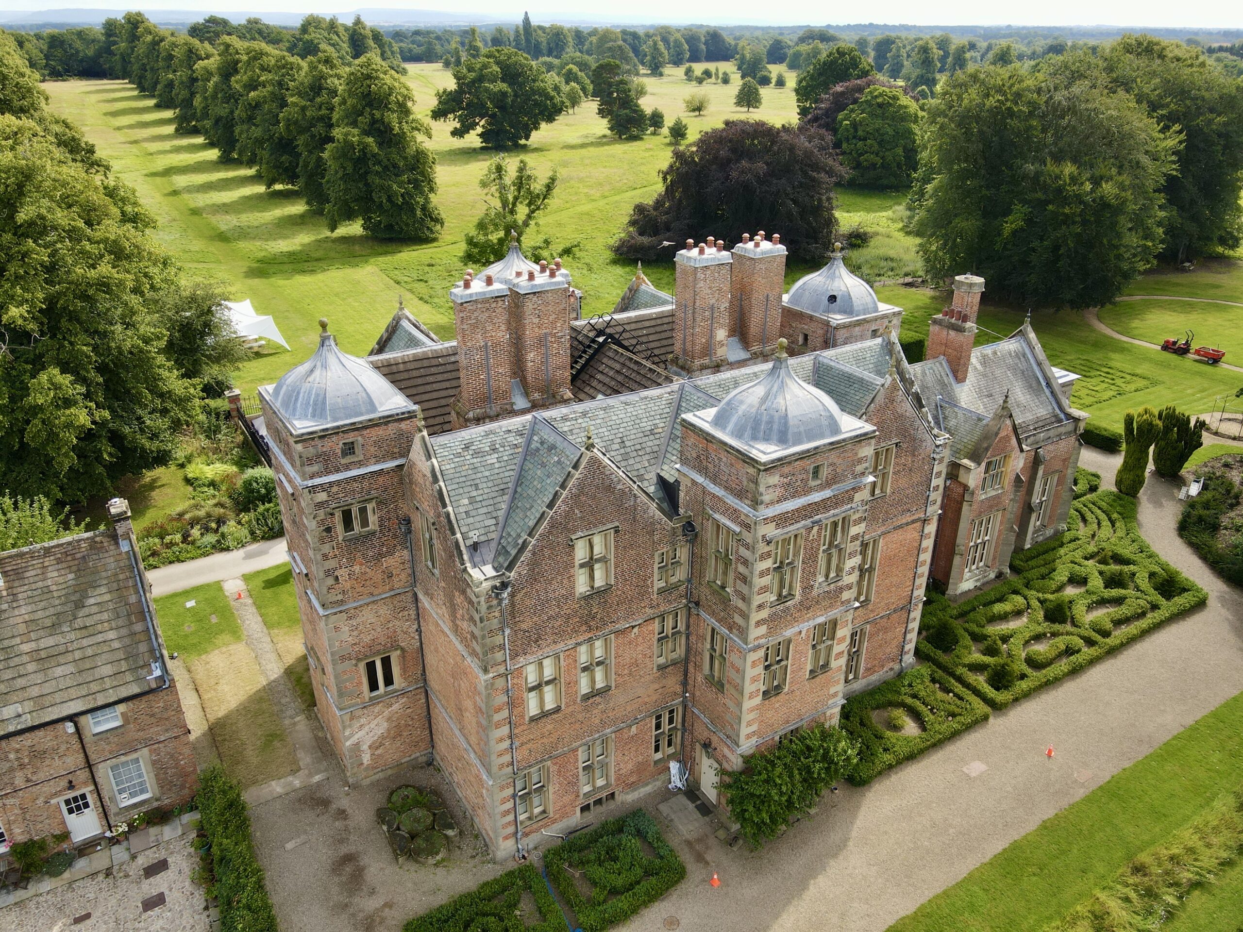
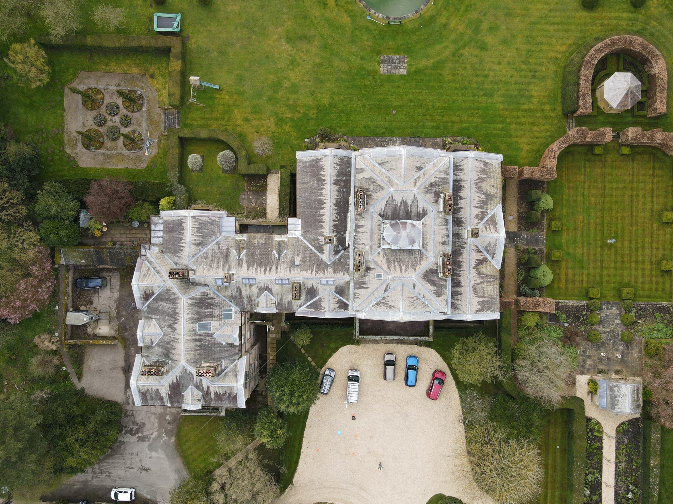
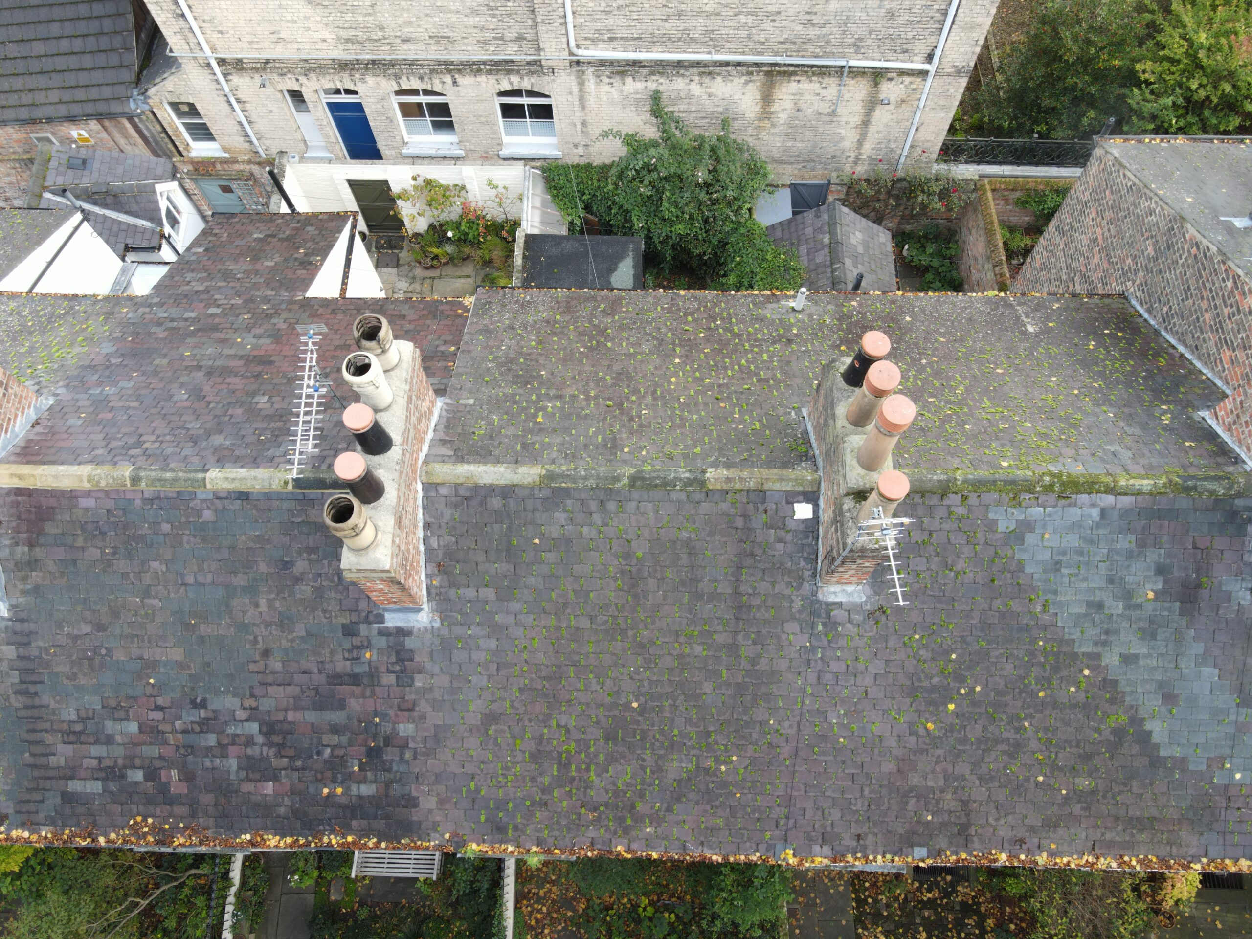
At Strut Building Surveyors, UAV imagery is used as part of a professional building-surveying process. We capture high-resolution evidence of roofs, chimneys, parapets, elevations, rainwater systems and other areas that may be difficult or unsafe to inspect from ground level.

The imagery is then considered in the context of the building’s construction, materials, condition and reported defects. This allows aerial evidence to contribute to roof condition surveys, specific defect investigations and building-envelope surveys.

A drone survey can often reduce the need for preliminary scaffolding or access plant simply to understand condition, although close-contact inspection or opening-up may still be required where the defect cannot be determined visually.

Get in touch

Why Use a Drone for Building Surveys?

Safer Access to Difficult Building Areas

A drone survey can provide detailed visual access to areas that would otherwise require scaffolding, mobile access equipment, specialist rope access or direct roof access.

Typical areas include:

  • High-level pitched roofs.
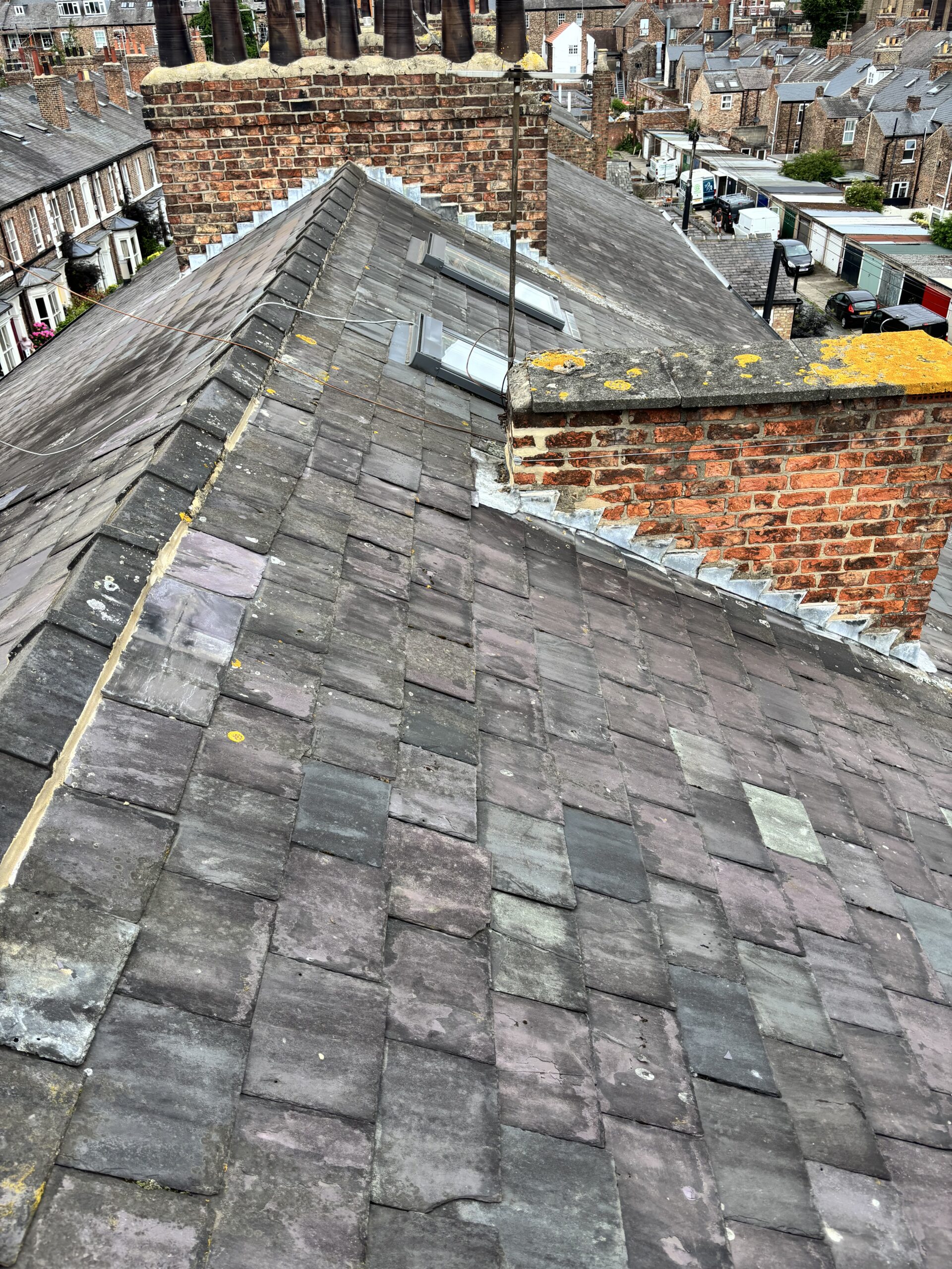
  • Chimney stacks and pots.
  • Parapets.
  • Valleys and concealed roof slopes.
  • Leadwork and flashings.
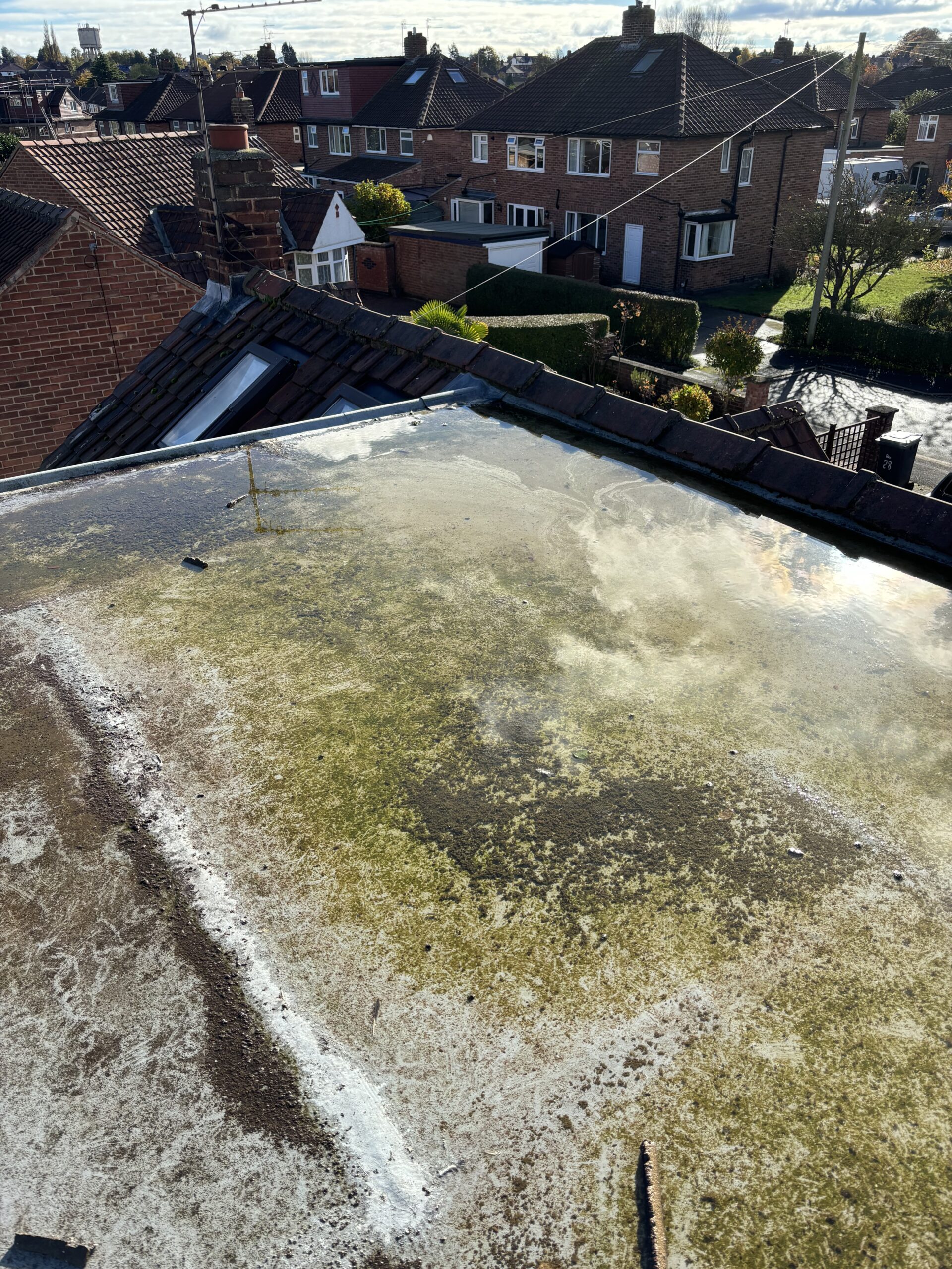
  • Flat roofs.
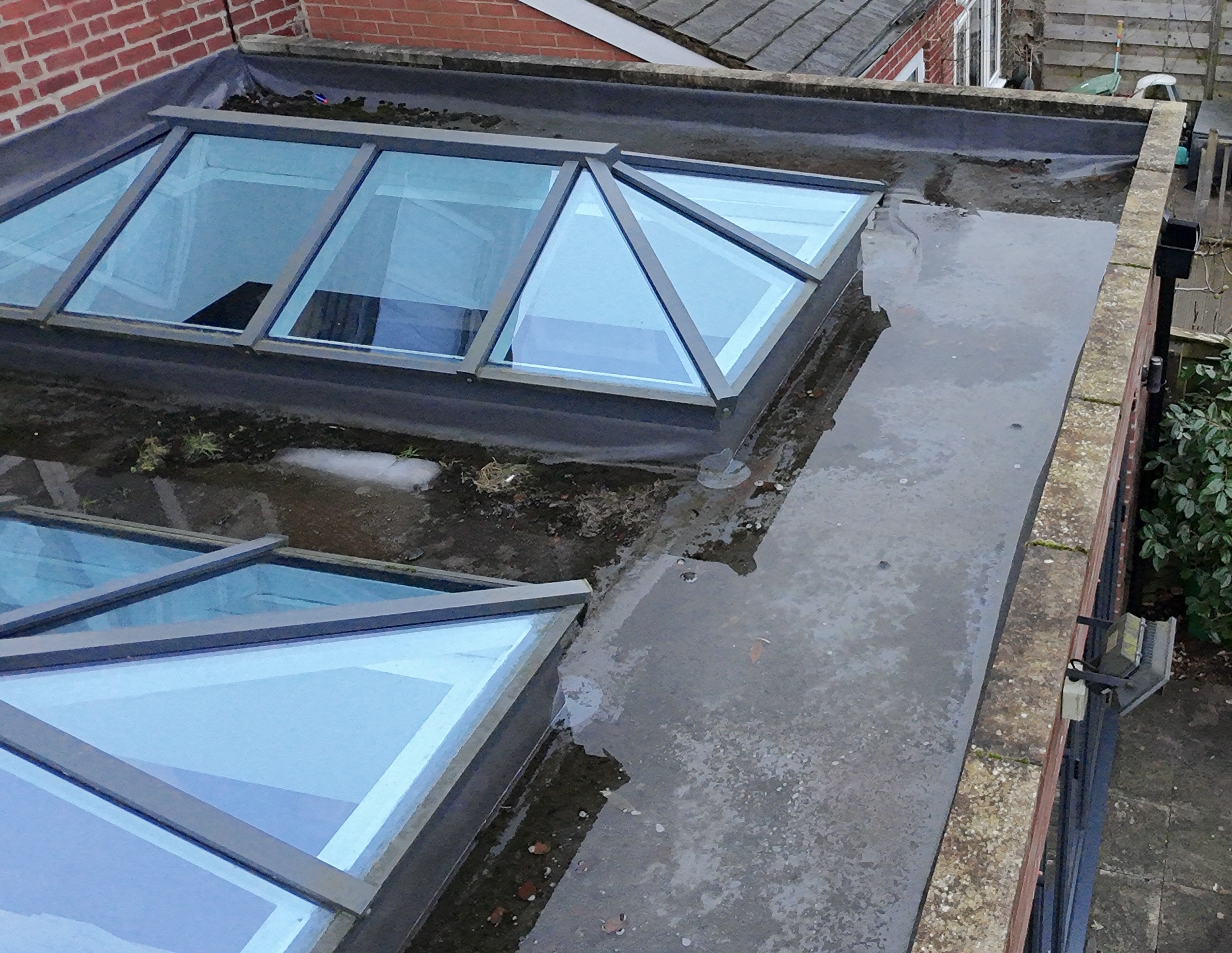
  • Rooflights and penetrations.
  • High-level rainwater goods.
  • Façades and external walls.

This can be particularly valuable where the first requirement is to understand condition before deciding whether more intrusive access is justified.

Detailed Visual Evidence

High-resolution imagery allows individual roof components and defects to be reviewed after the site inspection and incorporated into a written report.

Depending upon the building and equipment used, this can help identify:

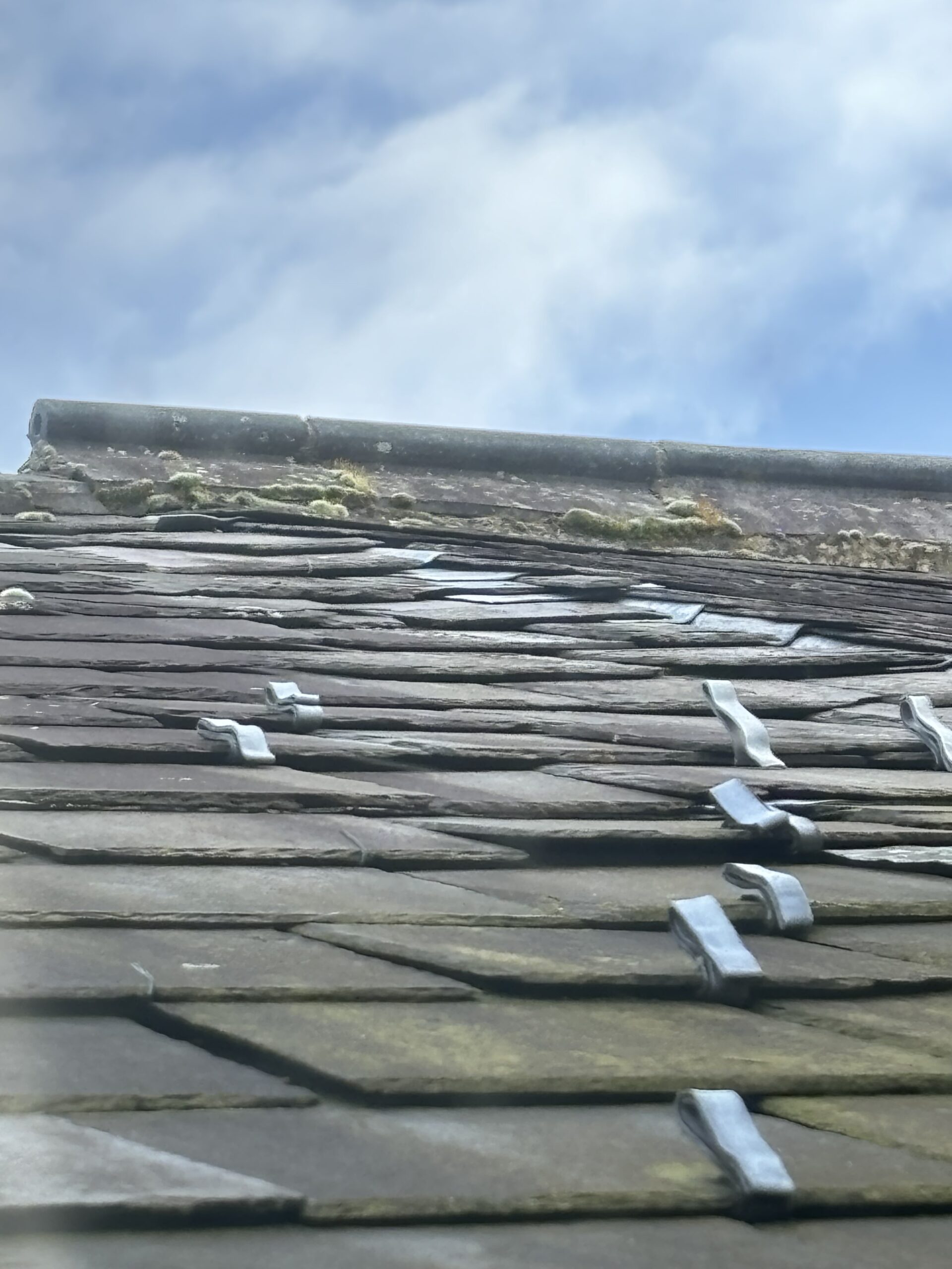
  • Slipped or damaged slates and tiles.
  • Defective lead flashings.
  • Deteriorated chimney masonry.
  • Open joints and failed weathering details.
  • Blocked gutters and outlets.
  • Cracked or deteriorated roof coverings.
  • Flat-roof defects.
  • Vegetation and debris.
  • Areas requiring closer investigation.

A Permanent Condition Record

Drone photographs can provide a useful dated record of building condition.

This can assist with:

  • Planned maintenance.
  • Before-and-after comparison.
  • Monitoring deterioration.
  • Contractor briefing.
  • Acquisition due diligence.
  • Schedules of condition.
  • Repair and refurbishment planning.

Supporting Building Pathology

Aerial imagery becomes especially useful when combined with building pathology.

For example, an internal water stain may be several metres away from the actual entry point. Drone imagery can allow the surveyor to review roof junctions, chimneys, flashings and drainage above and around the affected area.

The objective is not simply to obtain attractive aerial photographs, but to gather evidence that helps explain why the building is failing.

Why Choose Strut for a Drone Survey?

The principal difference is that the drone survey is interpreted by building surveyors rather than delivered simply as imagery.

1. Building-Surveying Context

We understand roofs, external building fabric, moisture pathways, traditional construction and common failure mechanisms. This allows the flight to focus on the details most relevant to the survey instruction.

2. Roof and Building-Envelope Expertise

Many of our drone instructions involve roofs, chimneys, leadwork and water ingress. Imagery can therefore be assessed alongside the wider roof and envelope construction rather than in isolation.

3. Evidence-Led Reporting

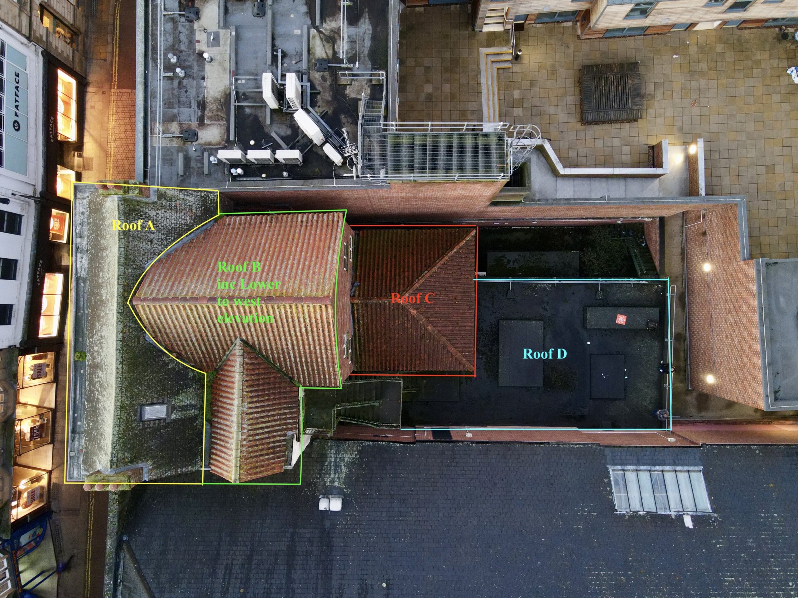
Where reporting forms part of the instruction, relevant photographs can be annotated and incorporated into the findings, allowing clients to see the defect being described.

4. Reduced Preliminary Access Costs

In suitable circumstances, UAV inspection can provide enough information to avoid erecting scaffolding merely to determine what condition a roof or high-level feature is in.

Where direct access remains necessary for tactile inspection, testing or opening-up, the drone evidence can help target that investigation more effectively.

5. Integration with Wider Surveys

A drone survey can be combined with:

  • What does a drone survey include? The scope depends upon the instruction. It may include high-resolution photographs and video of agreed building areas, with annotated findings and surveyor commentary where reporting is required.
  • Can a drone survey replace scaffolding? It can often reduce the need for scaffolding at the initial inspection stage. It cannot replace direct access where tactile inspection, measurements, testing or opening-up are required.
  • How long does a drone survey take? Straightforward inspections can often be completed relatively quickly, but flight time depends upon building size, complexity, airspace, weather and the agreed scope.
  • Can drones inspect listed buildings? Yes, subject to safe and lawful operation. Drone imagery can be particularly useful for roofs, towers, chimneys and other high-level historic fabric.
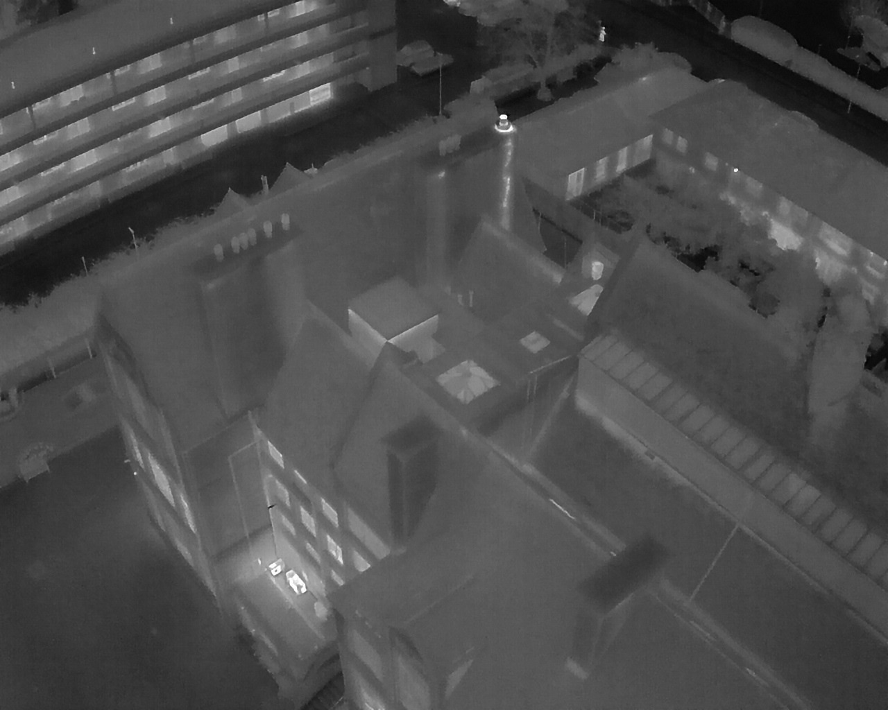
  • Can thermal imaging be used? Where suitable thermal equipment and environmental conditions are available, thermal imagery can provide additional information. It should be interpreted cautiously and does not by itself prove the presence of moisture or insulation failure.
thermal image drone survey

Thermal Drone Imaging

Thermal imagery can supplement visual inspection where the survey brief requires investigation of heat patterns or potential anomalies. Results require careful interpretation because surface temperature differences can arise for many reasons.

Book a Drone Survey
Drone Survey York

Commercial Property

High-level condition evidence for owners, investors, managing agents and asset managers.

Drone Surveys Yorkshire

Roof Surveys

Detailed aerial evidence for pitched roofs, flat roofs, chimneys, leadwork and drainage.

drone survey listed building

Heritage

Non-intrusive inspection of difficult-to-access historic and listed building fabric.

Drone Survey Equipment

Different buildings and inspection objectives require different equipment. Strut uses UAV equipment appropriate to the required level of visual evidence, access constraints and operating environment.

Compact UAV Inspection

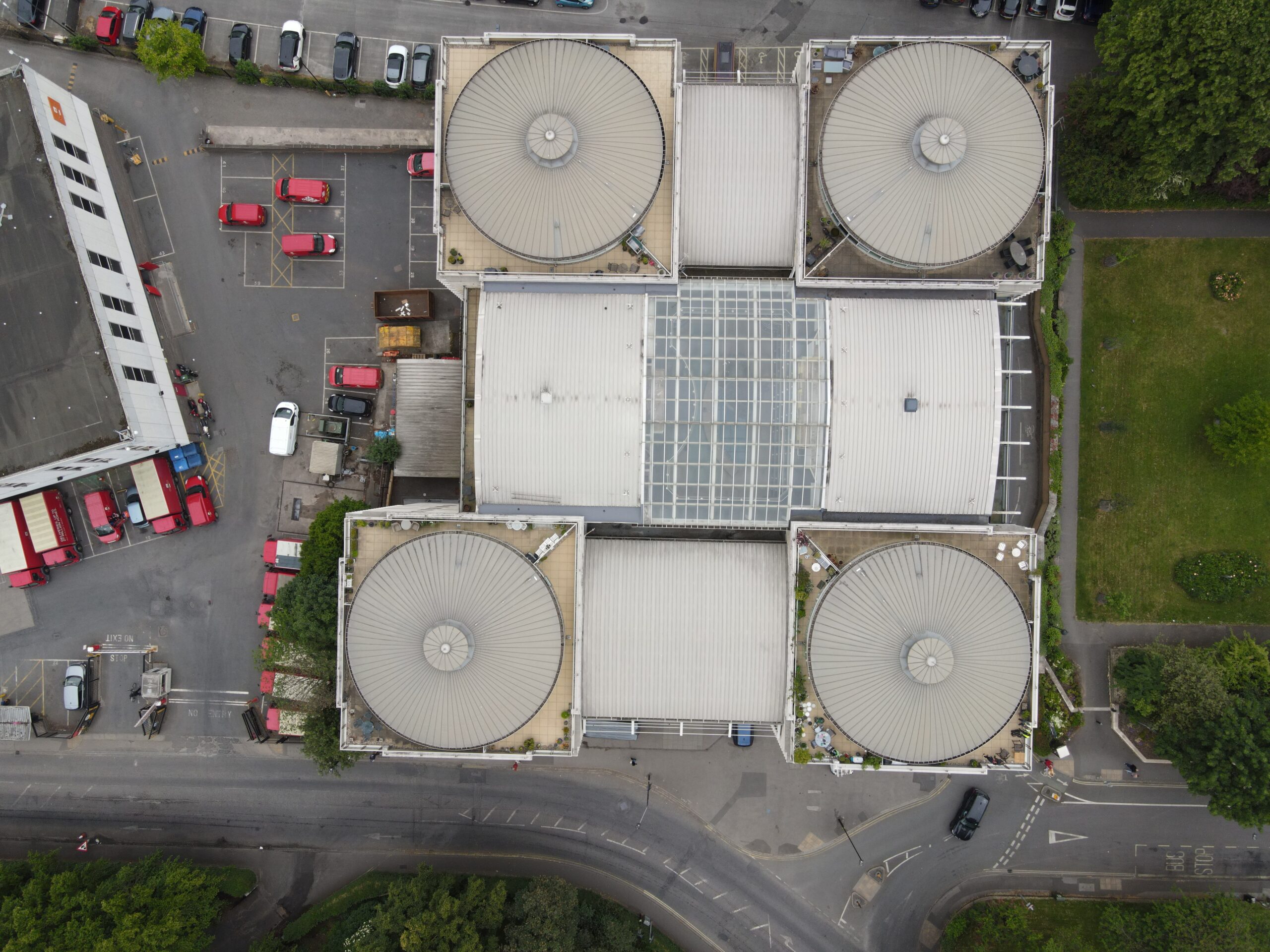
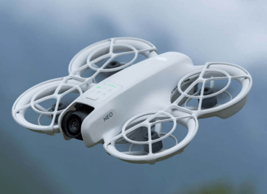
Our smaller UAV can be useful where rapid visual inspection is required and the operating environment allows its safe deployment.

It is particularly suited to capturing general high-level imagery of roofs and building features without the logistical demands of larger equipment.

drone surveys York

Compact UAV

  • Lightweight and rapidly deployable.
  • High-resolution visual imagery.
  • Useful for straightforward roof and high-level building inspections.
  • Suitable where detailed thermal or long-range inspection is not required.

Advanced Visual & Thermal Inspection

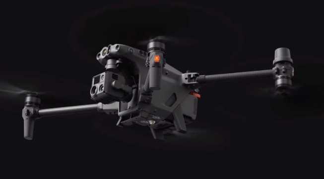
More complex sites may justify larger commercial UAV equipment with enhanced optical and thermal capability.

The DJI Matrice 30T provides zoom and thermal capability that can assist with larger buildings, complex roofscapes and locations where detailed remote observation is required.

Drone Survey Yorkshire

DJI Matrice 30T

  • High-resolution visual inspection.
  • Optical zoom for detailed remote observation.
  • Thermal imaging capability.
  • Obstacle sensing and commercial inspection features.
  • Suitable for larger and more technically demanding survey instructions.
Book a Drone Survey

Drone Survey Regulations and Flight Planning

Drone operations in the UK are regulated by the Civil Aviation Authority. The permissions, registration and competency requirements depend upon factors including the aircraft, operating category, location and nature of the proposed flight.

From January 2026, the UK rules include Flyer ID and Operator ID requirements based upon aircraft weight, class and camera use. More complex operations may fall within the Specific Category and require an Operational Authorisation and specified remote-pilot competency.

Flight planning also needs to consider airspace restrictions, nearby people, local site conditions, privacy, weather and whether the proposed inspection can be completed safely within the permitted operating framework.

The maximum height for normal Open Category operation remains 120 metres (400 feet), and restricted airspace must be respected. The drone must also be operated in accordance with the applicable CAA requirements for the flight being undertaken.

Fabric Background Overlay Image
STRUT BUILDING SURVEYORS

Drone Surveyors

A drone survey provides safe, detailed visual access to roofs and high-level building elements, but imagery alone is not a diagnosis.

Strut combines UAV inspection with building surveying and building-pathology knowledge so that the evidence gathered can be interpreted in the context of the building and the problem being investigated.

If you require aerial inspection of a roof, chimney, façade or other inaccessible element, we can advise on the appropriate scope.

Get in Touch
Strut Surveyors - York Surveyors
office@strutsurveyors.com

© Strut Building Surveyors. All rights reserved.

Flat Roof Defects in York | Surveyor Inspection Guide

A surveyor-led guide explaining flat roof defects in York, why membranes fail prematurely, how inspections [...]

Leaking Roofs in York | Surveyor Inspection Guide

A surveyor-led guide explaining why leaking roofs in York are often misdiagnosed, how water travels [...]

Poor Roof Workmanship in York | Surveyor Inspections

A surveyor-led guide explaining how poor roof workmanship in York is identified, how it differs [...]

Poor Roofing Work in York | Independent Surveyor Guide

A detailed inspection-led guide explaining how poor roofing work in York is identified, why defects [...]

Party Wall Survey Guide | Strut

A Party Wall Survey under the Party Wall etc. Act 1996 prevents disputes during boundary [...]

Listed Building Survey Guide | Strut

A Listed Building Survey provides essential insight for owners and buyers of historic properties. Discover [...]

Building Safety Act 2022 Guide for Building Owners

A practical Building Safety Act 2022 Guide for domestic and commercial building owners, explaining time [...]

Snagging Survey Guide for New Builds | Strut

A Snagging Survey ensures your new-build home meets standards before the developer’s warranty expires. Discover [...]